Appalachian Floods Bring Mud, Mayhem, and Mobilized CAP Nerds with Cameras
When it rains, it pours… then CAP shows up with spreadsheets and Cessnas
In mid-February, Mother Nature reminded Appalachia that she’s still very much in charge, delivering a combo platter of heavy rain, snowmelt, and emotional damage that caused rivers to rise, roads to vanish, and every hill to think it was a waterslide.
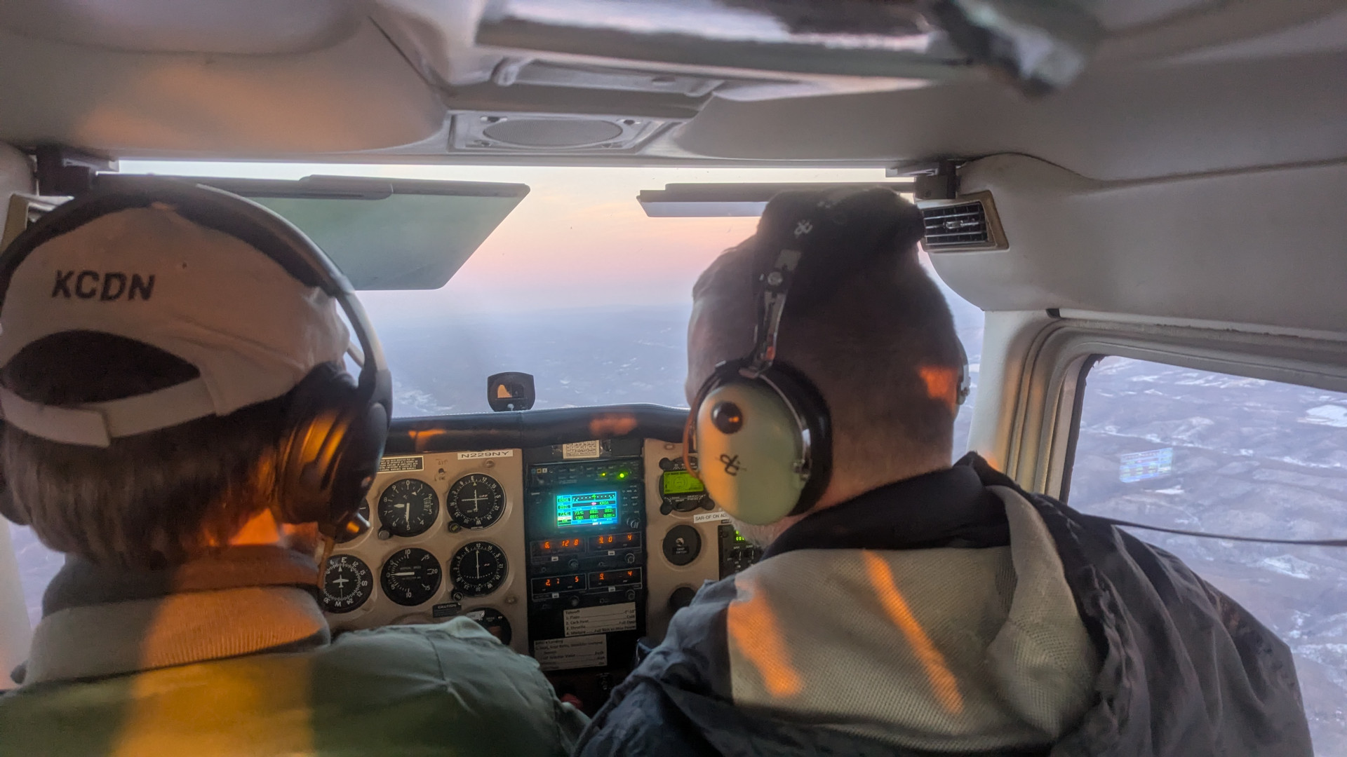
As chaos reigned across eastern Kentucky, southwestern Virginia, and southern West Virginia, Civil Air Patrol leapt into action like soggy superheroes with high-res cameras, answering the call to provide aerial imagery, geospatial damage assessments, and dramatic aerial photos perfect for FEMA PowerPoints.
Welcome to CAP: We Take Pictures of Your Problems From 3,000 Feet
As the floods took hold, FEMA activated CAP’s Geospatial Program’s Damage Assessment Team, proving that when disaster strikes, you need pilots who also know how to use Photoshop and Google Earth.
Using high-tech wizardry like:
- Oblique and 3D imagery
- Law enforcement drone footage
- Satellite images from Planet Labs
- Footage from storm chasers who apparently laughed in the face of common sense
…the team produced flood maps so detailed, even fish could find their old driveways.
Kentucky Wing: The Mud Avengers
Aircrews from Kentucky Wing flew 16 sorties over 33 hours, capturing over 800 images, which included:
- Destroyed roads
- Submerged homes
- Soggy cows
- The occasional handmade “SEND HELP” sign spelled in lawn chairs
“Our goal was to spot signs of flood damage, stranded folks, and anything that looked remotely dramatic from the air,” said Capt. Philip Harris. “Also, bonus points for catching a washed-out bridge mid-collapse.”
Virginia Wing: Clouds, Chaos, and Canceled Flights
Meanwhile, in Virginia, three counties with more terrain than people were also hit. Aircrews captured 800 images in one day, before being grounded by “un-forecast low clouds with icing” — aviation speak for “Nope.”
“There’s a road, a river, a train track, and all the people living on one patch of dirt the size of a Walmart parking lot,” said Lt. Col. Jeff Van Etten. “We flew twice, then the sky said ‘you shall not pass.’”
Back at base, three brave souls mapped everything with fancy GIS tools like SARTopo, ForeFlight, and ArcGIS, which are like Google Maps on caffeine and steroids.
Ground Crews Assemble: The Wet Boots Brigade
When air support got weather-grounded, the Kentucky Wing’s virtual incident command held the fort, coordinating Red Cross missions and ground-based assessments. On day one alone:
- 3 CAP ground teams
- 5 joint sorties
- 1 county’s worth of soggy clipboard warriors
In total: 47 members, 11 sorties, and countless pairs of soaked boots.
“Without the volunteers who got certified in emergency services and also don’t mind their boots filling with water, none of this would be possible,” said Capt. Michael Lense, proud leader of the mud mission.
Civil Air Patrol: Now with Disaster Declaration Power
All this effort — flying, mapping, analyzing, and finding that one porch floatin’ downstream — helped Virginia, Kentucky, and West Virginia apply for federal disaster declarations. Two of those were approved, and Virginia’s is still stuck in bureaucratic limbo, probably behind a paper jam at FEMA HQ.
Wrapping Up the Mud Saga
As a Total Force partner and auxiliary of the U.S. Air Force, Civil Air Patrol once again proved its unique superpower: showing up in places nobody else wants to go, wearing reflective vests, and pointing at things while holding radios.
“We save lives, relieve suffering, and occasionally rescue lawn furniture,” said no one officially, but probably someone in the Kentucky Wing group chat.
In summary: When the hills cried mud and the rivers claimed Main Street, CAP got airborne, got muddy, and got the job done — all in the name of service, satellites, and soggy situational awareness.